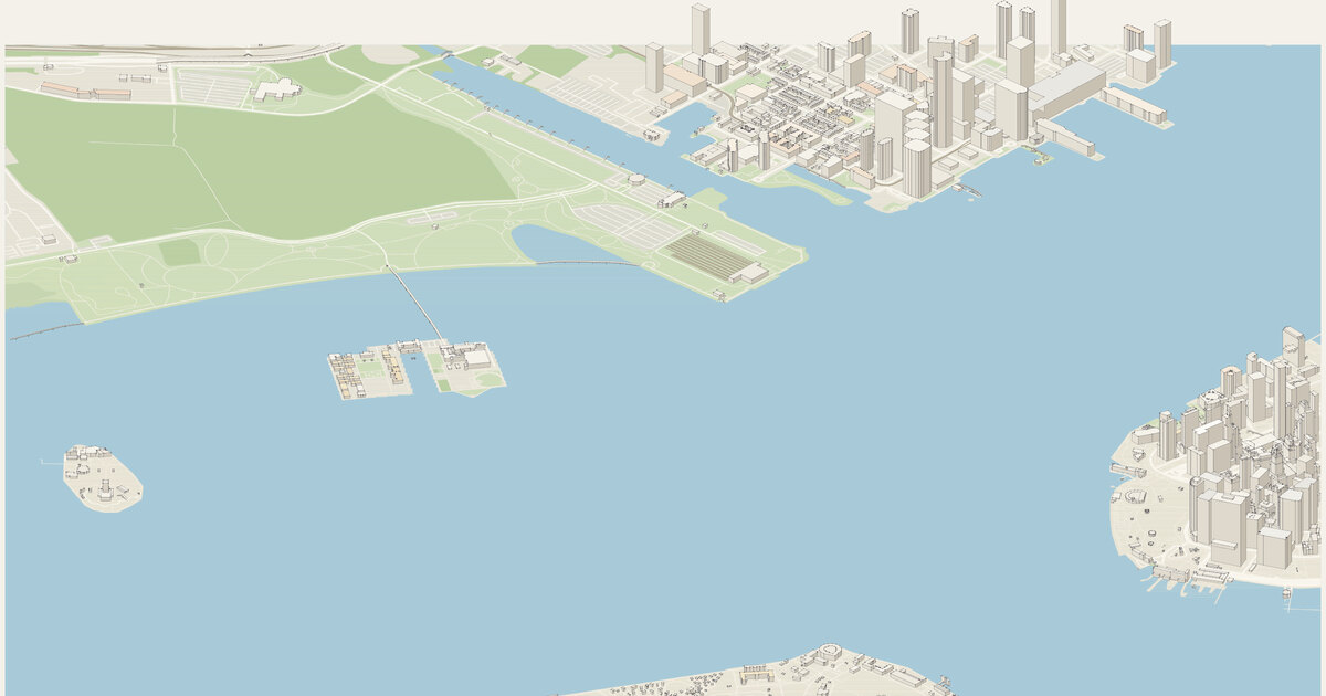
Statue of Liberty — New York Harbor. A frame 3.6 km across and 3.6 km deep (12.96 km²), centered on 40.7020°N, 74.0340°W.
Camera how the camera works →
Looking northwest (bearing 326°), a fixed bearing with no snapping. Orthographic, tilted 30° down from the horizon: ground running into the picture is drawn at 0.5× its length and heights at 0.87×. 1.667 px per meter across the frame; the whole drawing is 6,049 × 3,353 px at 1:1.
Sources where the data comes from →
- OpenStreetMap: 26,643 features read from the cached download; the sea and tidal water come from 37 coastline ways.
- No elevation: drawn on a flat plate.
Ground what the ground is made of →
From the map, 1,473 mapped areas of water, islands, parks, woods and other cover, and 3,343 ribbons of road, path, rail, canal and weir. Painted in 360 strips from back to front, 10 m deep each, so hills hide what is behind them (why).
Rivers and rapids how rapids are read →
Without elevation, water is drawn from OpenStreetMap’s outlines as they are. No river surface, rocks or rapids are inferred.
Buildings where heights come from →
1,083 buildings, extruded from footprints of at least 12 m² that lie wholly inside the frame, from OpenStreetMap.
- 524 (48%) from a
heighttag - 45 (4%) from the number of floors, at 3.4 m a floor
- 514 (47%) guessed from the building’s type and size
Bridges how decks are placed →
265 bridge spans of up to 22 m, so long bridges sort among the buildings. Deck heights are rules of thumb: every bridge 7 m per OSM layer.
Drawing paint order →
The paper palette, dots on roof corners only, on a ground slab 24 m thick.
This build the archive →
Built November 14, 2026 in 2.0 s, 2.53 MB of SVG. From commit 69023cd, “Front page: the James view links to Richmond prints (it is not itself in the shop)”, with uncommitted changes in src/ or regions/.
Map data © OpenStreetMap contributors (ODbL) · credits and licenses