Downtown Richmond through time, 1737–2026
The same blocks, from the Capitol to Tobacco Row, year by year. Buildings come from fire-insurance maps and other dated sources. Pick a year below, or press [ and ] in the viewer to step through them.
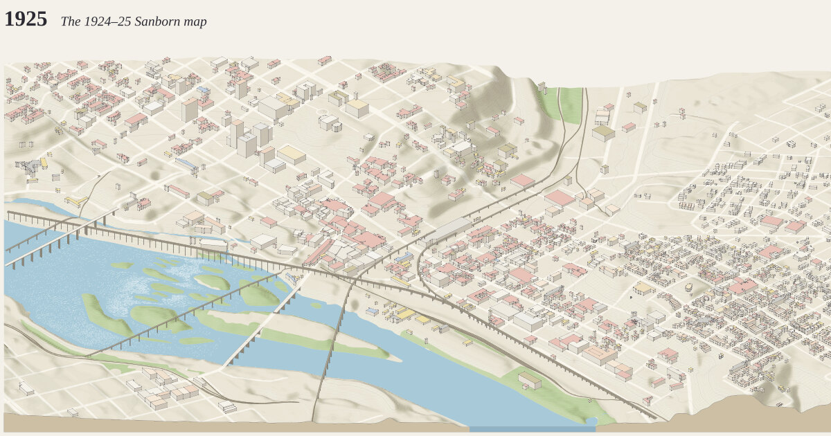
Explore this map: step through 26 years
Drawn by Chris Busse with isoscape, a free, open-source tool he built with Claude, from OpenStreetMap and public elevation data; how it's made. In the explorer you can pan and zoom the full drawing, step through its years and compare it with other maps.
The years
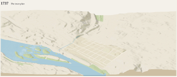 1737: The town planWilliam Mayo lays out Richmond for William Byrd II: a grid of squares east of Shockoe Creek, sold by lottery. Almost nothing standing…
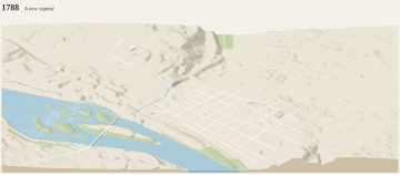 1788: A new capitalThe capital has moved from Williamsburg; Jefferson's Capitol is finished on Shockoe Hill, and John Mayo's toll bridge first crosses the…
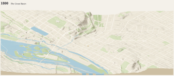 1800: The Great BasinThe canal's Great Basin is finished below Shockoe Hill, about 1800; Mayo's toll bridge crosses the James.
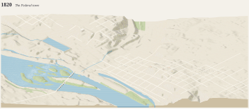 1820: The Federal townThe Wickham House (1812), the Governor's Mansion (1813) and Monumental Church (1814) stand on the hill.
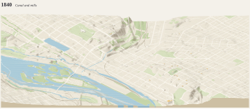 1840: Canal and millsThe James River and Kanawha Canal ends in the Great Basin; flour mills and ironworks line the canal and the falls.
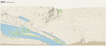 1850: Mills and railThe railroads have reached the city; the canal and mills line the river below Main Street.
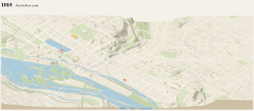 1860: Antebellum peakRichmond is among the South's most industrial cities, its flour mills among the largest in the world, and Shockoe Bottom the center of a…
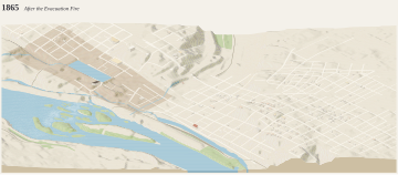 1865: After the Evacuation FireRetreating Confederates fire the warehouses on 2–3 April; some 35 blocks of the business district burn.
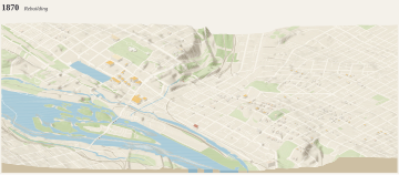 1870: RebuildingThe burned district is rebuilding; Shockoe Creek still runs open, until 1877.
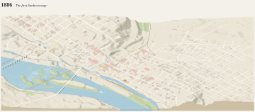 1886: The first Sanborn mapThe earliest fire-insurance map of the city. Its buildings now gone are traced here in the map's own colors.
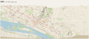 1895: The 1895 Sanborn mapTobacco factories and warehouses crowd Shockoe Bottom; the canal basin is still open.
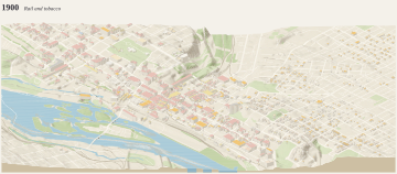 1900: Rail and tobaccoRailroads have taken over the canal; tobacco factories and warehouses fill Shockoe Bottom and Tobacco Row. Main Street Station and the…
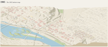 1905: The 1905 Sanborn mapThe second fire-insurance map traced here: the business district at its densest before the office towers.
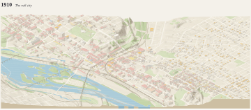 1910: The rail cityMain Street Station and the river viaducts (1901) carry trains above the streets.
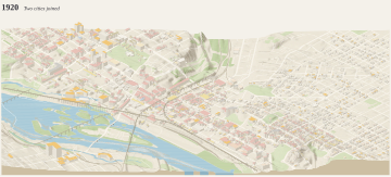 1920: Two cities joinedThe new Mayo Bridge (1913) joins Richmond and Manchester, annexed in 1910.
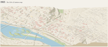 1925: The 1924–25 Sanborn mapDowntown at the height of the tobacco and rail city, as the fire-insurance maps drew it.
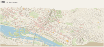 1930: The first skyscrapersThe first office towers rise downtown; Shockoe Creek runs underground; the Mayo Bridge has been rebuilt in concrete (1913).
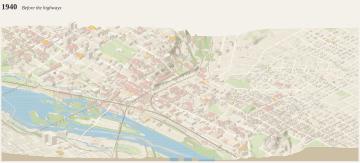 1940: Before the highwaysDowntown before the expressways.
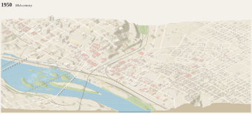 1950: Mid-centuryThe last scene before the turnpike.
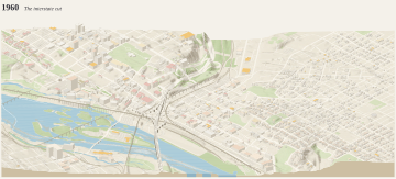 1960: The interstate cutThe Richmond-Petersburg Turnpike, now I-95, opened in 1958 through Shockoe Valley.
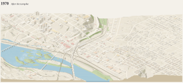 1970: After the turnpikeI-95, opened in 1958, runs through Shockoe Valley.
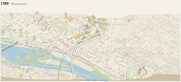 1980: The expresswayThe Downtown Expressway (1976) runs along the river.
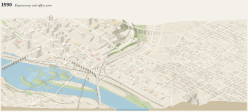 1990: Expressway and office coreThe Downtown Expressway (1976) runs along the old canal bed; the James Center stands on the Great Basin's site.
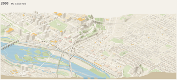 2000: The Canal WalkThe floodwall (1994) and the Canal Walk (1999) have reopened the riverfront.
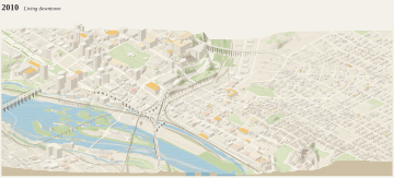 2010: Living downtownThe decade before today.
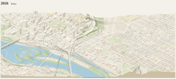 2026: TodayThe floodwall (1994) and the Canal Walk (1999) have brought the riverfront back; Tobacco Row is apartments.